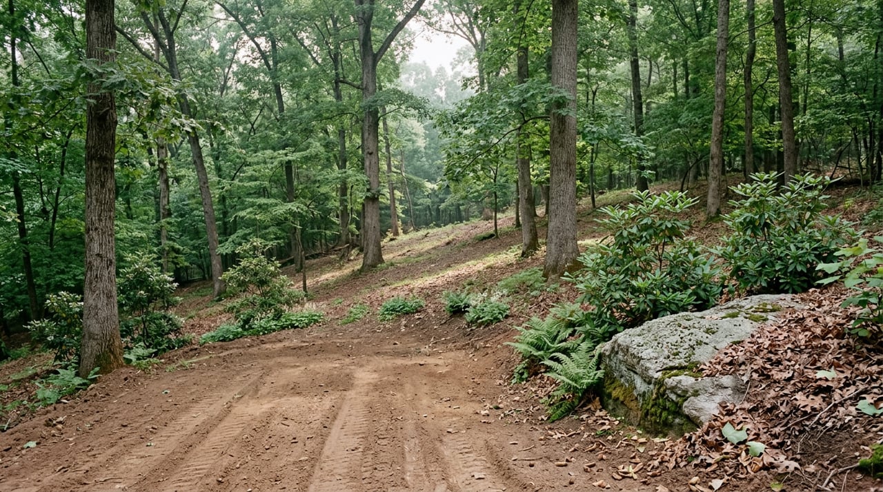
Ask anyone who hikes regularly in Big Canoe which trail earns the most complaints and the most repeat visits, and you will hear the same answer: Nancy Womack. The 2.8-mile out-and-back climbs nearly 1,200 feet to some of the highest elevations in the community, crossing Disharoon Creek by wooden bridge and stepping stone before switchbacking up through hemlock and old-growth tulip trees toward Deer Run Ridge. It is the trail residents point newcomers toward when they want to know what "difficult" actually means inside the gates.
What most hikers do not know is that the Big Canoe Trails Committee, the all-volunteer group that has built and maintained the community's trail network since 1998, does not consider Nancy Womack finished. Right now, the committee is weighing whether to extend it. The proposed addition would run nearly a mile past Nancy Womack Falls, gain roughly 1,000 more feet of elevation, and connect the trail all the way to the summit of Sanderlin Mountain. In its own writeup of the idea, the committee called it "by far the most difficult build undertaken by the Trails Committee." That is not marketing language. That is a group of volunteers who have already built almost 25 miles of trail telling you this one would be harder than anything they have done.
If it happens, the payoff is real: a hiker could start at the Wellness Center and walk, uninterrupted, to a summit that once marked the beginning of one of the most storied footpaths in the country.
The Mountain Under the Trail
Sanderlin Mountain sits on the same ridgeline as Mount Oglethorpe, and Mount Oglethorpe is not just scenery. From 1930 until 1958, it served as the official southern terminus of the Appalachian Trail. Earl Shaffer, the first person to thru-hike the entire trail, began there. So did Gene Espy, the second thru-hiker, and Emma "Grandma" Gatewood, the first woman to complete it, who did the 2,000-plus miles in a pair of Keds carrying an army blanket and a raincoat.
The terminus moved to Springer Mountain, about 13 miles northeast, in 1958, largely because development had crowded the approach to Oglethorpe with chicken farms and logging roads that made the final miles unpleasant for hikers. The 38-foot marble obelisk that once marked the summit was relocated to downtown Jasper in 1999, where it stands today.
You can still visit the old terminus. In 1995, Ken and Billie Ann Rice bought 107 acres around the Oglethorpe summit, and in 2014 they opened the land to the public as Eagle's Rest Park, just outside Big Canoe's gates. It has its own trails and observation decks, and it is the closest most residents will get to standing where Gatewood and Shaffer once stood, unless the Trails Committee's Sanderlin proposal goes through and links Big Canoe's own network directly into that ridge.
Why the Committee Is Still Deciding
Building a trail that hard is not a simple yes. The committee's own concern, laid out in its writeup, is whether a trail this punishing would actually get used or whether it would sit mostly empty while casual hikers stick to the falls. An undertaking with 1,000 feet of new elevation change is also, practically speaking, more than a season of volunteer labor. Every foot of Big Canoe's trail system so far has been built by residents with shovels, not contractors with equipment, which is part of why the debate is taking real time rather than getting rubber-stamped.
For now, Nancy Womack Trail still ends where it always has, at Deer Run Ridge, with Mount Oglethorpe's summit visible but not connected. Whether that changes is worth watching if you hike here regularly, because it would reshape what "the hard trail" means in Big Canoe for the first time in years.
What Else Is Worth Walking This Fall
Nancy Womack gets the reputation, but it is one of 25 miles, and most of the rest of the network rewards a slower pace rather than a harder one. A few worth working into your fall rotation:
- Indian Mounds Trail, which winds past stone cairns built by the Cherokee who occupied this land long before the Trails Committee existed, and connects into the Petit Trail down to Lake Petit's shoreline.
- Wildflower Trail, a green-blazed connector through a fern-filled creek valley that links the Lake Trail to the main Nature Valley parking area. Quiet enough that deer and birds are more common sightings than other hikers.
- Lower Falls Trail, generally considered the most popular hike in the community, following Disharoon Creek past ferns and rock formations to a genuinely large waterfall without the elevation demands of Nancy Womack.
- Meditation Park, tucked near the Main Gate, where a suspended footbridge crosses near the Blackwell Creek Bridge Ruins, remnants dating to 1915, alongside a small cemetery and a botanical garden thick with rhododendron.
- Wildcat Park's Red Loop, which has its own piece of local history: near mile marker five, the Trails Committee has documented an old moonshining site, complete with a rusted still and tin cans left behind from whoever was working there decades ago.
None of these require the recovery time Nancy Womack does. They are the trails you walk on a weeknight, not the one you plan a Saturday morning around.
Timing the Color
North Georgia's mountain elevations do not turn all at once, and the difference between hiking a week early and hiking at the right time is noticeable. For this stretch of the Appalachians, the last two weeks of October are typically when color peaks at higher elevations, which lines up with where Big Canoe's trails climb toward Mount Oglethorpe and Sanderlin. Earlier in the month, you will still get plenty of yellow in the lower creek valleys around Lower Falls and Wildflower Trail. If you are chasing the full ridge-line color that makes Nancy Womack and its neighbors worth the climb, the back half of October is the better bet.
The Trail You Choose Says Something About the Trail You'll Get
Big Canoe's trail system has always been a slow build, added to piece by piece since 1998 by residents who decided a waterfall deserved a proper trail or a set of Cherokee mounds deserved to be seen rather than driven past. The Sanderlin proposal is the same instinct at a bigger scale: a group of volunteers looking at the hardest trail they have and asking whether it should be harder still, in service of connecting a piece of Appalachian Trail history that has sat just out of reach.
Whether or not the extension gets built, it is worth knowing that Big Canoe's most famous hike is not a finished product. It is a live question the community is still answering, one shovel at a time.
If you already call Big Canoe home, you know this rhythm. And if you have a friend or family member wondering whether a place with this much history under its trails might be their next move, Tom Petrigliano and Carolyn Littell at North GA Properties are glad to talk through what that would actually look like. Start Your Home Search whenever you're ready, no pressure, no rush.